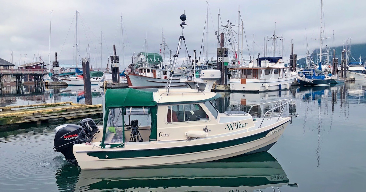
Where’s Wilbur: Mapping the Shoreline from Victoria to Port McNeill
Why is Wilbur Mapping? Part of a project called Resilient ...
Why is Wilbur Mapping? Part of a project called Resilient ...
Our focus is on entertaining and educating avid anglers with fishing lodge and resort profiles, charter operations, new product information, tackle shop and outdoor store features, plus articles and columns on how-to and where-to-go written by some of British Columbia’s premier outdoor writers. Subscribe Now!